

Maps settings
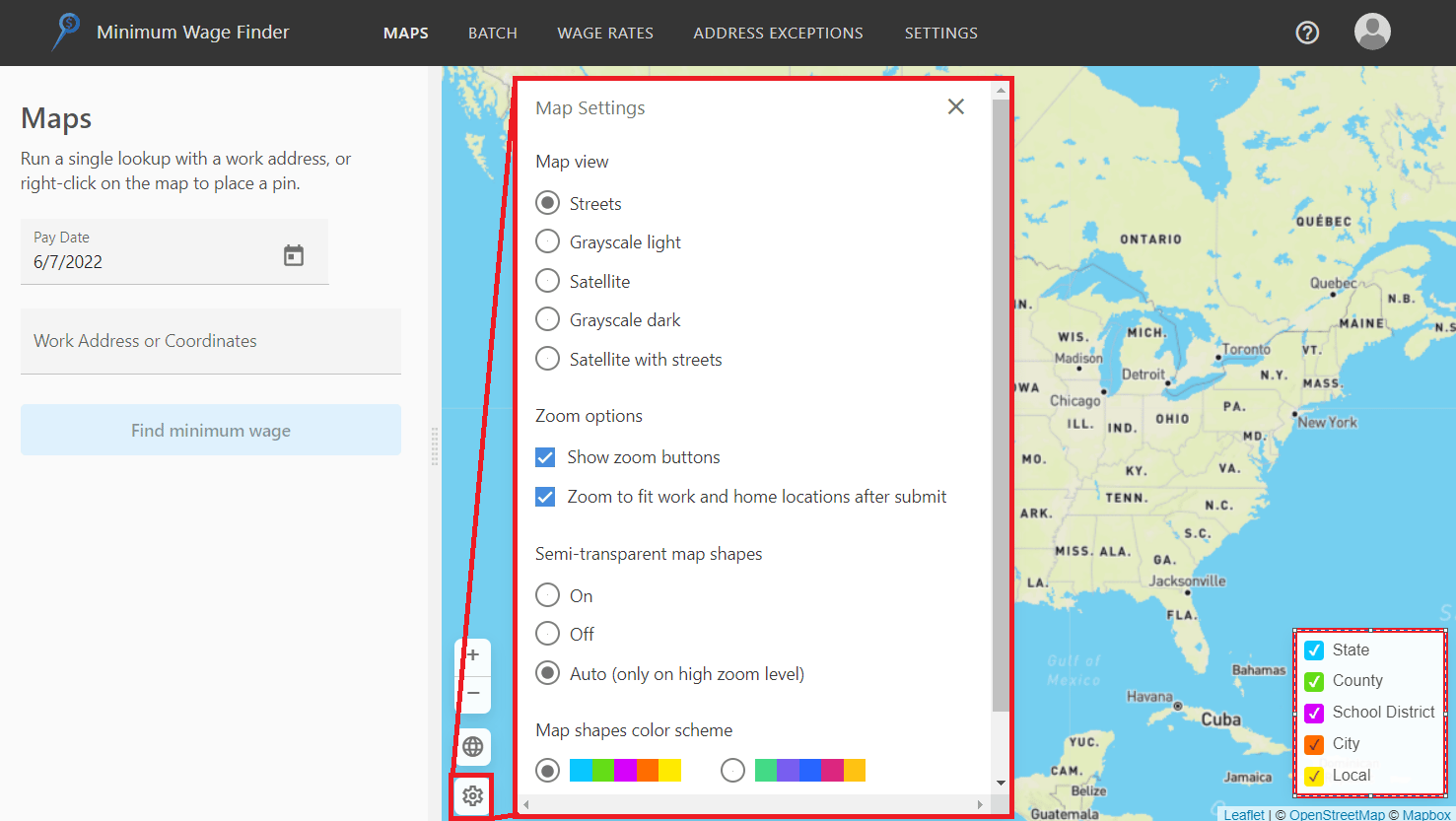
- Click the gear icon in the bottom left corner of the map to expand the settings, where you can adjust the map view (e.g., satellite, street, etc.) and customize how the geospatial boundaries are displayed.
- Choose which geospatial boundaries are displayed on the map by checking or unchecking the different boundaries found in the bottom right corner of the map.
Note on visual boundariesTurning off boundary visualizations does not impact wage rates returned. For example, if you uncheck “State”, the state boundary is no longer rendered on the map, but state wage rates (if applicable) will still be returned in the portal.